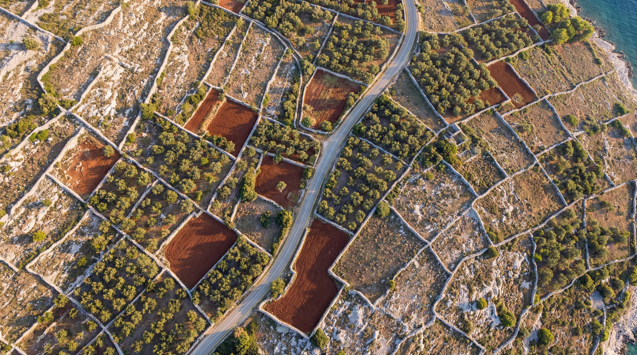
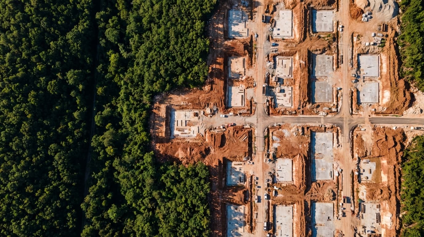
Drone-based photogrammetric surveys were carried out before and after earthworks execution to accurately determine cut-and-fill volumes. Digital terrain models were generated and used to produce quantity verification reports that serve as the basis for invoicing completed works.
Earthworks Quantity Verification Survey
Geodetic survey and earthworks quantity verification using drone mapping – comparison of pre- and post-construction conditions.

Gallery