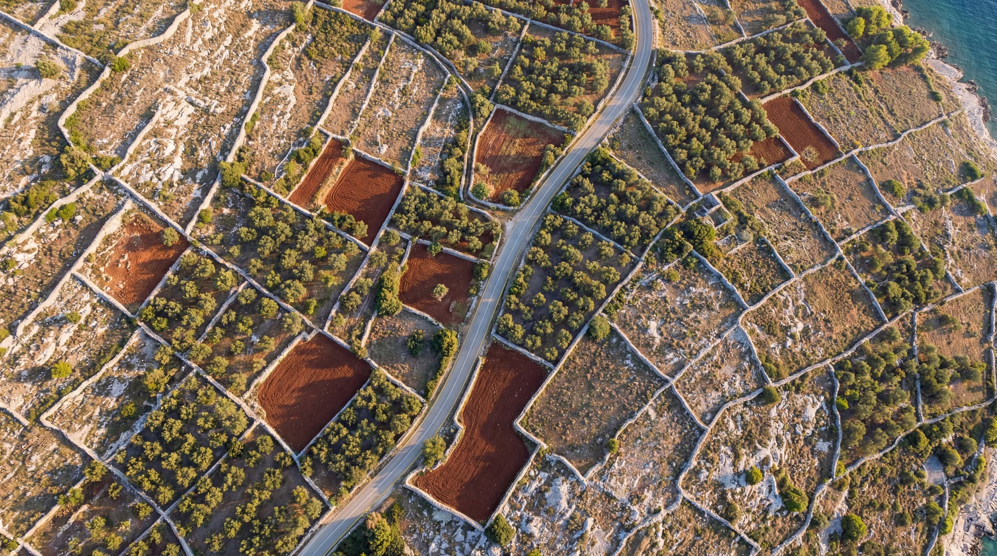
LiDAR scanning of torrential streams was performed for Hrvatske Vode (State body for waters) in Podgora Municipality to produce high-accuracy digital terrain models. The collected data serves as a foundation for designing flood-protection measures and planning watercourse management works.
LiDAR Survey of Torrential Streams – Podgora Municipality
LiDAR scanning and digital terrain modelling of torrential streams in the Podgora Municipality area for flood protection planning.