Earthworks Quantity Verification Survey
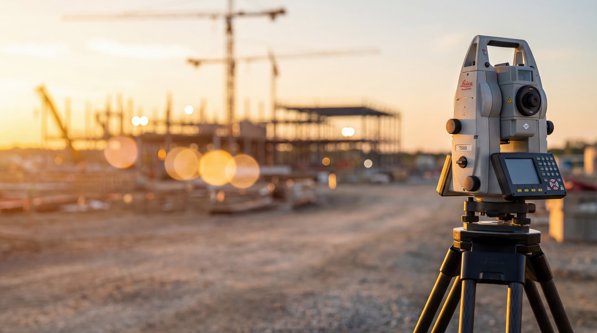
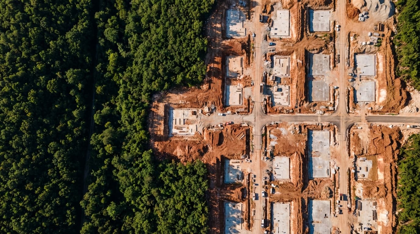
Geodetic survey and earthworks quantity verification using drone mapping – comparison of pre- and post-construction conditions.
We prepare detailed geodetic situational plans that accurately represent the current state of the terrain, including the precise position of buildings, roads, vegetation, utility infrastructure, elevation features, and parcel boundaries. Our plans are based on thorough field measurements and serve as official documentation used in the process of obtaining building permits, legalizing existing structures, spatial planning, and project design. Whether you're working with a single private plot or a more complex development, we provide a reliable and up-to-date base that architects, investors, and regulatory bodies can depend on
Contact us →Geodetic survey and earthworks quantity verification using drone mapping – comparison of pre- and post-construction conditions.

Geodetic measurement and quantity verification for façade works – precise determination of completed façade surface areas.