Earthworks Quantity Verification Survey
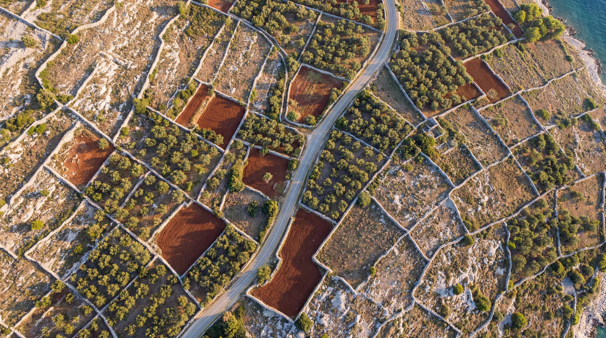
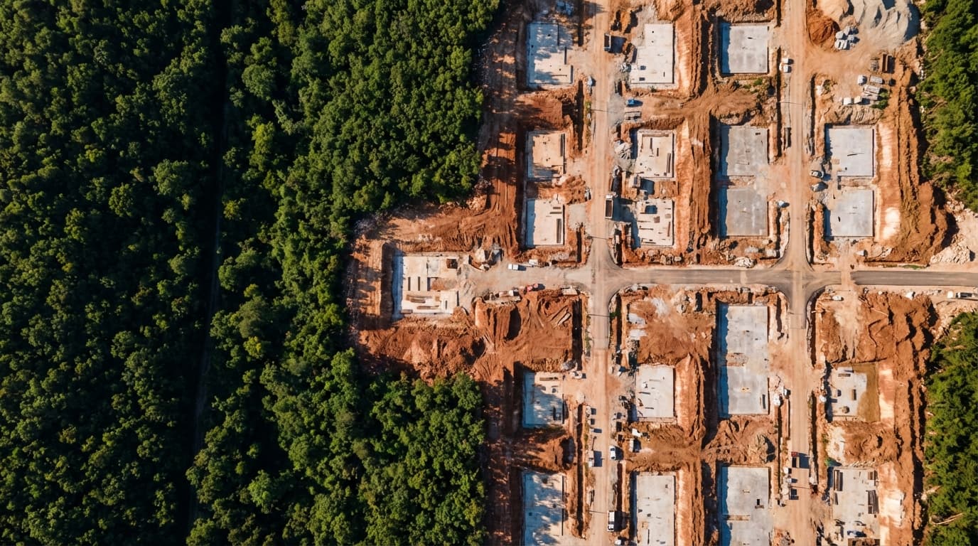
Geodetic survey and earthworks quantity verification using drone mapping – comparison of pre- and post-construction conditions.
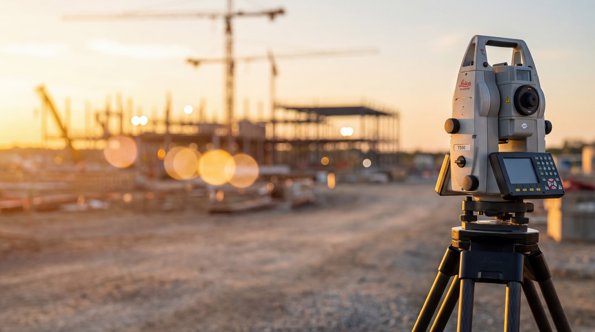
We use unmanned aerial vehicles (drones) for aerial photogrammetric terrain surveying, orthophoto map creation, and 3D modeling. This technology enables fast and precise surveying of large and hard-to-access areas with high data resolution.
Contact us →Geodetic survey and earthworks quantity verification using drone mapping – comparison of pre- and post-construction conditions.

Geodetic measurement and quantity verification for façade works – precise determination of completed façade surface areas.